Catalina Island Maps
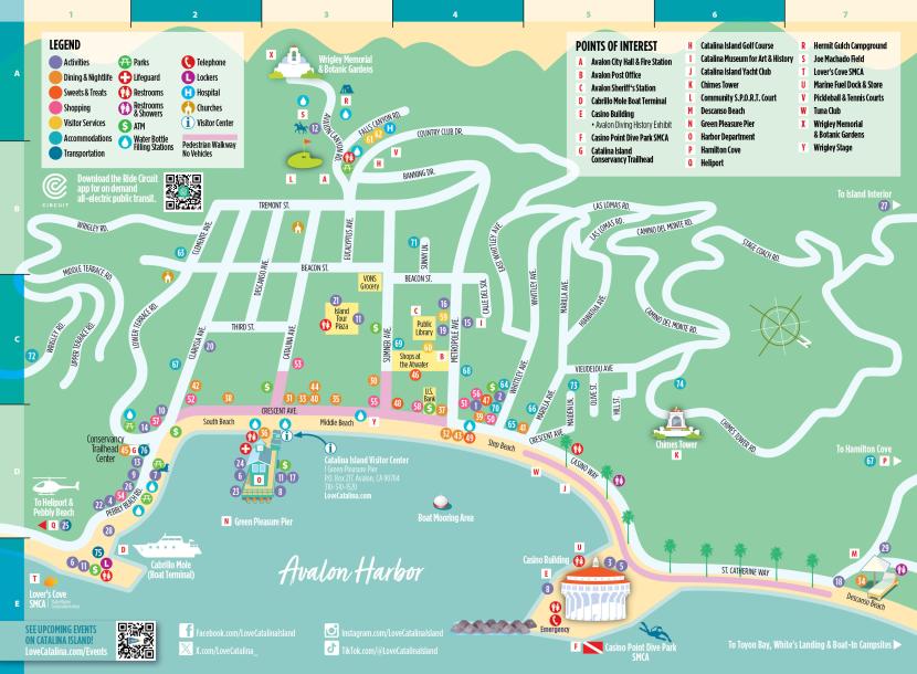
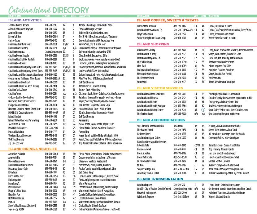
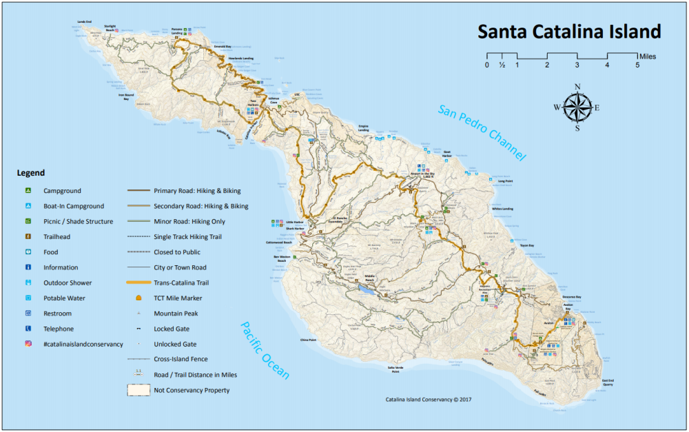
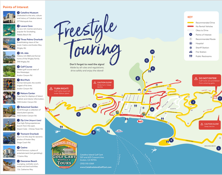
Catalina Island business directory and map of Avalon
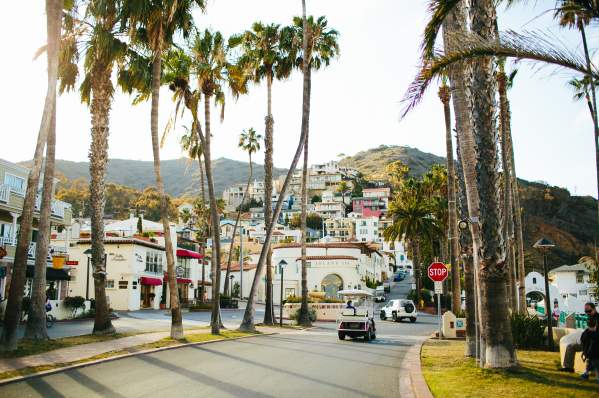
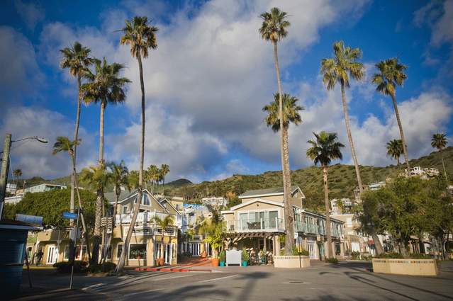
The city of Avalon is only 2 square miles in area and for the most part very easy to navigate by foot. The main oceanfront street, often referred to as "Front Street" is Crescent Ave. It is pedestrian friendly and closed to all traffic except for emergency vehicles.
There are several streets off Crescent Ave. that are referred to as "the Flats." These are Clarissa Ave, Descanso Ave., Catalina Ave., Beacon St., Eucalyptus (pedestrian only) and Sumner Ave. Walking time from the Cabrillo Mole (ferry terminal/cruise tenders) to Crescent Ave is less than 4 minutes for most people.
Via Casino, off Crescent Ave, leads to the Catalina Casino. Walking time from the Green Pleasure Pier to the Casino is about 5 minutes for most people.
Past the Casino, the road turns into St. Catherine Way which leads to Descanso Beach Club, Descanso Canyon (zipline/aerial adventure) and Hamilton Cove. Walking time from the Casino to Descanso Beach Club area is about 5 minutes for most people.
VIEW the complete 2025-26 Catalina Island Map & Directory: front / back
Fun Island Facts
Catalina Island is part of Los Angeles County, and Avalon, incorporated in 1913, was the 30th city in the county.
Wildlife
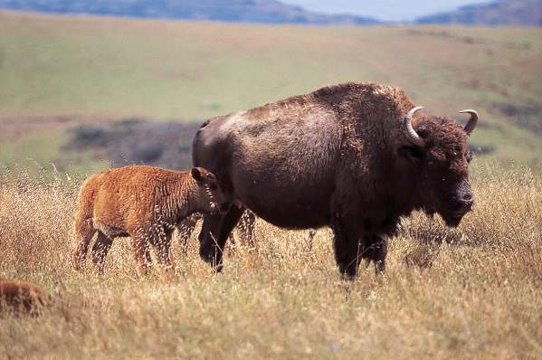
Catalina Island is home to a vast array of wildlife, some native and some non-native.
History
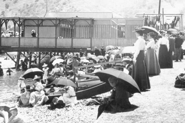
Catalina Island has a long and interesting history dating back to the Spanish Empire. Catalina Island was once owed by William Wrigley, Jr. of Wrigley Chewing…
Explore the Island
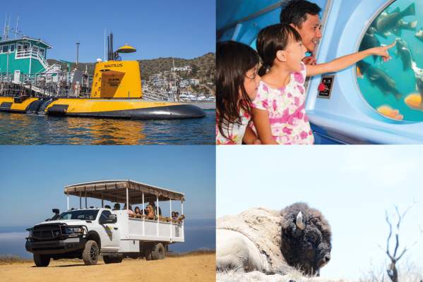
Submarine & Inside Land Tours
Catalina Adventure Tours
Book Direct & Save! Tours offered multiple times daily, Submarine tours depart from Green Pier & Inside Land Tours from the Mole.
$10 Off Catalina Island Ferry
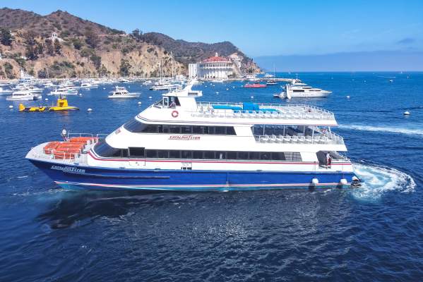
Onboard Catalina Flyer
Hop onboard the Catalina Flyer for daily ferry service from Newport Beach to Avalon, Catalina Island in just over 1 hour.

